


128th National Park · Nan & Phayao
Tham Sakoen National Park
อุทยานแห่งชาติถ้ำสะเกิน
High Mountains, Limestone Caves & the Quiet Wilderness of Nan
Song Khwae · Chiang Kham · Northern Thailand
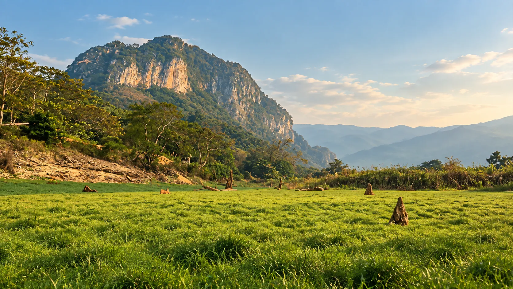
Steep mountains, a limestone cave, waterfalls and misty ridges — a large mountain landscape where nature remains the main attraction.
Where Nan Meets Phayao
Far in the northern mountains of Thailand, where Nan meets Phayao and the Luang Prabang mountain range continues toward Laos, lies Tham Sakoen National Park.
This is a landscape of steep mountains, deep valleys, forested ridges, caves, waterfalls and important watershed forests.
It is not a destination built around a single spectacular viewpoint. Its character comes from the landscape itself.
The mountains rise from approximately 300 metres to 1,752 metres above sea level, with Doi Chi (Doi Ji) forming the highest point of the park.
From these mountains originate headwaters connected with the upper Yom, upper Yao and Lao river basins, making the park important not only for biodiversity but also for the wider water systems of northern Thailand.
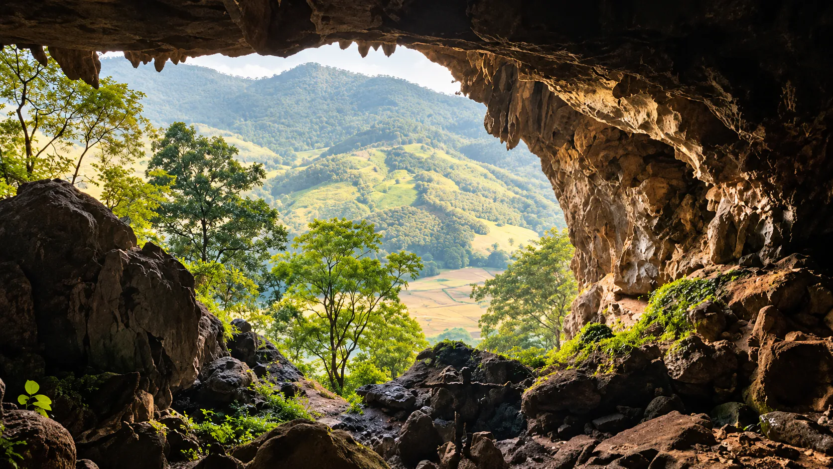
The park’s most recognisable natural attraction is Tham Luang Sakoen, a limestone cave containing stalactites, stalagmites and a large bat population. Elsewhere, visitors can find waterfalls, mountain viewpoints, misty ridges and nature-study trails.
A large mountain landscape where nature remains the main attraction.
At a Glance
- ~250 km²
- About 156,187 rai across Nan and Phayao.
- Tham Luang Sakoen
- The limestone cave behind the park’s name.
- Doi Chi · 1,752 m
- Highest point of the park’s mountain system.
- 21 April 2016
- Thailand’s 128th national park.
- Watershed forest
- Upper Yom, upper Yao and Lao basins.
- Location
- Nan and Phayao Provinces
- Main visitor area
- Yot Subdistrict, Song Khwae District, Nan
- Established
- 21 April 2016
- National Park Number
- 128th national park of Thailand
- Area
- Approximately 156,187 rai / 249.90 km²
- Mountain range
- Luang Prabang Range
- Elevation
- Approximately 300–1,752 metres
- Highest point
- Doi Chi / Doi Ji — 1,752 metres
- Signature cave
- Tham Luang Sakoen
- Waterfalls
- Pha Than, Huai Hat and other seasonal waterfalls
- Nature trail
- Ton Phra Chao Ha Phra Ong Nature Study Trail
- Landscape
- Mountain forest, limestone, caves, streams and watershed
- Best suited to
- Nature travellers, hikers, photographers and slow travellers
The park covers parts of Song Khwae District in Nan Province and Chiang Kham and Pong districts in Phayao Province. The area was formally designated by Royal Decree published in the Royal Gazette on 21 April 2016.
The Mountains of Tham Sakoen
Luang Prabang Range · ridges, valleys and mist
Tham Sakoen sits within the northern end of the Luang Prabang mountain range, a major mountain system that continues eastward toward the Lao border.
The terrain is distinctly mountainous. Rather than broad plains with isolated peaks, the park consists of interconnected ridges and valleys, with mountains generally arranged along a north–south axis.
Elevation changes dramatically across the landscape: approximately 300 m → 1,752 m. That difference creates a variety of forest environments and microclimates. It also explains why the park can feel noticeably cooler at higher elevations, particularly during the northern Thai cool season.
From a traveller’s perspective, this is a destination where the journey between attractions is part of the experience. Roads wind through mountain country. Valleys open unexpectedly. Forest covers the slopes. And mist can settle over the ridges during suitable weather conditions.
Doi Chi — The Highest Mountain
1,752 metres above sea level
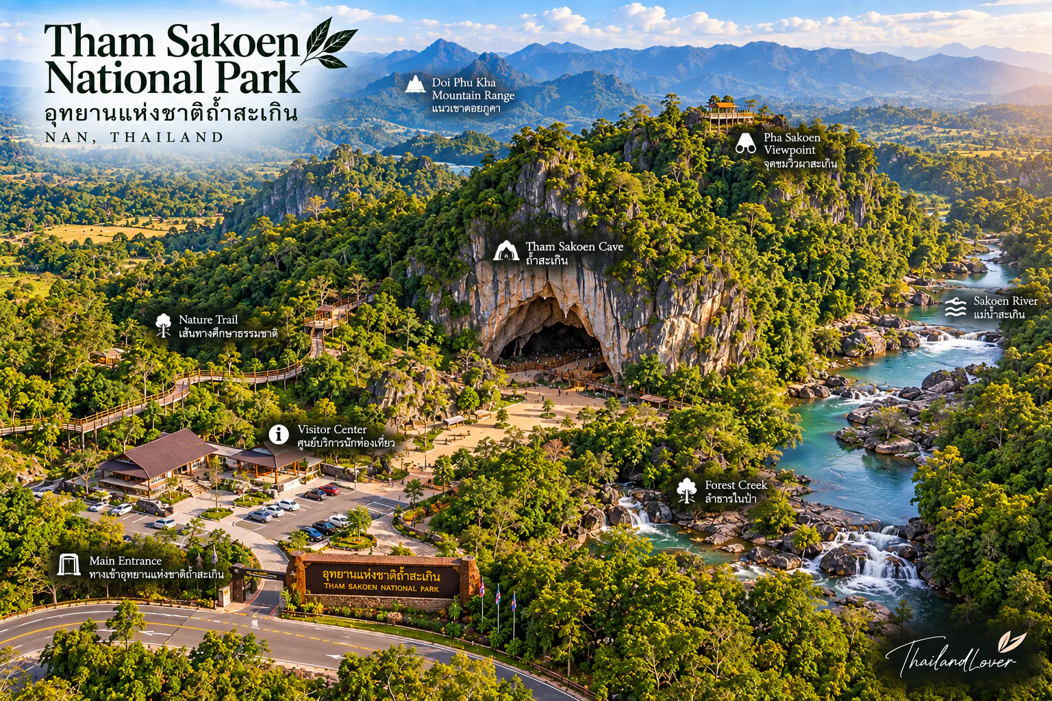
The highest point of Tham Sakoen National Park is Doi Chi (Doi Ji), reaching approximately 1,752 metres above sea level. It is the defining high point of the park’s mountain system.
Doi Chi is important not simply because it is the highest summit. The surrounding mountains form part of the watershed system from which several important river basins originate.
DNP information describes the park as a source area for the upper Yom, upper Yao and Lao basins, linking the mountain forests to larger river systems that support communities and agriculture farther downstream.
The mountains are not merely scenery. They are part of northern Thailand’s water infrastructure.
A Mountain Park Built Around Water
Rain falling on the forested ridges does not simply disappear. Water moves through soil, rock and streams before feeding larger river systems. Tham Sakoen is therefore an important watershed landscape.
The park’s mountains contribute to:
- Upper Yom watershed
- Upper Yao watershed
- Lao watershed
These systems eventually connect with major rivers of northern Thailand, including the Yom and Nan river systems. This makes forest conservation particularly important.
A healthy mountain forest does more than provide habitat for wildlife. It helps regulate water, protect soil and maintain stream systems.
Tham Luang Sakoen
ถ้ำหลวงสะเกิน · the cave behind the park’s name
The most famous attraction is Tham Luang Sakoen, located in Yot Subdistrict, Song Khwae District, Nan Province.
The cave is a limestone cave containing naturally formed:
- Stalactites
- Stalagmites
- Limestone chambers
- Rock formations
The cave is approximately 600 metres deep, according to established tourism information, and is also known for its bat population.
Unlike enormous cave systems that require specialist equipment, Tham Luang Sakoen has traditionally been presented as a natural attraction accessible from the park’s main area. Nevertheless, cave access should always follow current park instructions.
Inside Tham Luang Sakoen
The atmosphere changes immediately once you leave daylight behind. Temperature drops. Sound behaves differently. The forest disappears. And the limestone formations become the dominant visual feature.
The cave’s stalactites and stalagmites have developed through the slow interaction of water and limestone. This is one of the reasons visitors should never touch cave formations. Human contact can damage delicate surfaces and interfere with the natural processes that formed them.
The cave is also home to bats. They are part of the cave’s ecosystem, not an attraction to be disturbed. Visitors should keep noise low and follow any restrictions imposed by park staff.
The Cave as a Living Ecosystem
A cave is not simply a hole in the mountain. It is an environment with its own physical conditions. Light is extremely limited. Humidity is high. Temperature changes are relatively small compared with the outside environment.
Bats and other cave-associated organisms depend on these conditions. This makes cave conservation particularly important.
At Tham Sakoen, the best visitor experience is not about going as deep as possible. It is about understanding what the cave represents: a geological environment that has been developing for an extremely long time.
Pha Than Waterfall
น้ำตกผาฐาน · water through the mountain forest
Pha Than Waterfall is one of the principal waterfall attractions associated with Tham Sakoen National Park. It lies within the forested mountain landscape and is particularly attractive when water levels are strong.
The character of Pha Than is closely tied to the surrounding terrain. Rather than viewing the waterfall as an isolated attraction, look at the forest and stream system around it.
During the rainy season, water flow can increase considerably. During drier periods, the waterfall may appear very different. This seasonal character is typical of mountain waterfalls in northern Thailand.
Huai Hat Waterfall
น้ำตกห้วยหาด · a three-tier forest fall
Huai Hat Waterfall is another recognised attraction within the park. It is located in the Yot area of Song Khwae District.
The waterfall is generally described as a three-tier waterfall, with water flowing through the forest landscape. The site is particularly associated with the natural environment of the surrounding mountain forest rather than large-scale visitor facilities.
For travellers looking for a quiet nature stop, Huai Hat fits naturally into the character of Tham Sakoen.
Doi Phu Langka
One of the park’s mountain attractions is the Phu Langka area. This should not be confused automatically with every attraction carrying the name “Phu Langka” elsewhere in northern Thailand.
The Phu Langka area associated with Tham Sakoen forms part of the park’s highland landscape and is included among the attractions managed for visitors. Mountain viewpoints in this area are particularly suited to travellers interested in:
- Sunrise
- Mountain ridges
- Mist
- Forest landscapes
- Wide northern Thai panoramas
Actual viewpoint access can depend on current route conditions and park management.
Yot Phu An Ma
Yot Phu An Ma is another highland attraction identified by the park. The name refers to a mountain summit within the park’s mountainous landscape.
It is best understood as part of the park’s high-elevation nature experience rather than as a conventional roadside viewpoint. The appeal comes from the combination of high elevation + forest + mountain ridges + changing weather.
On clear days, the surrounding mountain landscape can be extensive. On misty mornings, the experience becomes much more atmospheric.
Ton Phra Chao Ha Phra Ong Nature Study Trail
A forest trail with a cultural name
One of the park’s designated nature-study routes is the Ton Phra Chao Ha Phra Ong Nature Study Trail. The name refers to the traditional Buddhist concept of the Five Buddhas.
The trail is designed around the forest environment and the distinctive tree associated with its name. DNP has included the route among the park’s visitor attractions and nature-learning opportunities.
For ThailandLover, this is one of the more interesting experiences in the park because it connects three subjects: forest ecology + local culture + nature interpretation.
It is not simply a trail to a viewpoint. It is intended to encourage visitors to understand the forest itself.
The Five Buddhas Tradition
The phrase “Five Buddhas” refers to a Buddhist tradition concerning five Buddhas associated with the present cosmic age:
- Kakusandha
- Konagamana
- Kassapa
- Gautama
- Maitreya
The tradition is widely represented in Thai Buddhist culture and folklore. The name of the nature trail reflects this cultural tradition.
Fossils in the Landscape
Tham Sakoen also has geological interest beyond its caves. DNP’s 2026 anniversary material highlights a fossil site associated with ancient shell fossils, including brachiopods and Orthotetes specimens, around the Pha Than / Phu Langka landscape.
These fossils provide evidence of an ancient geological environment very different from the mountain forest seen today.
The landscape is not simply “old mountains.” The rocks preserve evidence of much older environments and life forms.
Forests & Biodiversity
The protected landscape contains extensive forest ecosystems. Because of the variation in altitude, slope and moisture, different forest environments occur across the park.
The forest provides:
- Watershed protection
- Wildlife habitat
- Soil protection
- Carbon storage
- Plant diversity
- Natural water regulation
DNP describes Tham Sakoen as a landscape with significant forest ecosystems and biodiversity. Wildlife is present, but visitors should not approach the park as a guaranteed wildlife-viewing destination.
The forest is most valuable when it remains functioning and undisturbed.
The Sound of the Forest
One of the attractions of Tham Sakoen is what you do not hear. There are no large commercial entertainment complexes. No dense concentration of restaurants. No constant traffic around every attraction.
Instead, the dominant sounds can be:
- Wind through trees
- Running water
- Birds
- Insects
- The occasional movement of wildlife
For travellers accustomed to northern Thailand’s better-known destinations, the quieter atmosphere can be as important as any particular attraction.
Sea of Mist
Because parts of the park rise to more than 1,700 metres, early mornings can produce mist over the surrounding valleys when temperature and humidity conditions are suitable.
The park’s visitor information specifically identifies sea-of-mist viewpoints among its natural attractions. The important word is conditions. Mist cannot be guaranteed.
The best opportunities are generally associated with cooler mornings and suitable moisture in the atmosphere. For photographers, arriving early is far more important than waiting until late morning.
The Road Is Part of the Experience
Ban Sakoen · about 120 km from Nan city
Tham Sakoen is not a park where every attraction sits beside a major highway. The headquarters is reached through the mountain road network around Ban Sakoen.
From Nan city, the conventional route follows:
Highway 1080 → Highway 1148 → Song Khwae / Ban Sakoen → local road to the park headquarters.
The park is approximately 120 kilometres from Nan city, depending on the route and starting point. Visitors approaching from Phayao can access the area through the Chiang Kham side of the mountain route.
A private vehicle is the most practical way to explore the park and its dispersed attractions.
When to Visit
- November – February · Cool season
- Generally the most comfortable period for mountain travel. Morning temperatures can be cool, particularly at higher elevations. A good period for mist and mountain photography when weather conditions cooperate. Bring a light jacket.
- March – April · Hot season
- Lower elevations can become hot. Higher mountain areas remain more comfortable than the lowlands, but midday hiking can still be demanding. Plan outdoor activities for morning or late afternoon.
- May – October · Rainy season
- Forests return to intense green and waterfalls become more attractive — but expect slippery trails, wet limestone, muddy roads, reduced visibility and rapidly changing stream conditions. Cave and waterfall access should always follow current park instructions.
How Long Should You Stay?
- Half day
- Suitable for travellers who want to visit the main park area and Tham Luang Sakoen.
- One full day
- A better option if you want to combine Tham Luang Sakoen + waterfall + mountain viewpoint without rushing.
- Two days
- Recommended for a slower experience involving cave exploration, the nature trail, waterfalls, mountain viewpoints, mist photography and local communities.
The park is better suited to slow travel than attraction collecting.
Suggested ThailandLover One-Day Route
- Morning — Tham Luang Sakoen
- Start early. Explore the cave and learn about the limestone environment. Allow time for the forest around the cave rather than rushing immediately to the next attraction.
- Late morning — Nature Study Trail
- If the route is operating, explore the Ton Phra Chao Ha Phra Ong Nature Study Trail. Focus on the forest rather than treating the trail simply as a hike.
- Afternoon — Waterfall
- Continue toward Pha Than or Huai Hat Waterfall, depending on current access and water conditions. Rainy-season travellers may find the waterfall landscape particularly attractive.
- Late afternoon — Mountain view
- Finish at an accessible mountain viewpoint around the Phu Langka / Yot Phu An Ma landscape if conditions and access permit. Return before dark — mountain roads should not be treated like urban roads, particularly after rainfall.
Two-Day Slow Travel Version
- Day 1
- Nan → Song Khwae → Ban Sakoen → Tham Luang Sakoen → park area. Spend the night near the park or in the surrounding community if suitable accommodation is available.
- Day 2
- Nature Study Trail → Waterfall → Mountain viewpoint → return toward Nan. This itinerary gives the landscape more time to reveal itself.
Photography Guide
Tham Sakoen is especially suited to photographers who enjoy mountain atmosphere rather than iconic monuments.
- Doi Chi and mountain ridges
- Best photographed in early morning light.
- Sea of mist
- Dependent on weather — arrive early.
- Tham Luang Sakoen
- Focus on limestone textures and cave formations. Never touch them for a shot.
- Waterfalls
- Best when water levels are strong.
- Forest details
- Leaves, moss, tree trunks and streams often communicate the park better than a wide landscape.
Responsible Travel
Tham Sakoen is a watershed and forest conservation landscape. Visitors should treat it accordingly.
- Protect the caves
- Do not touch stalactites or stalagmites. Do not scratch cave walls. Do not remove rocks. Do not disturb bats.
- Protect the water
- Do not throw rubbish into streams. Do not use soap or chemicals in natural water sources. Do not enter restricted water areas.
- Protect the forest
- Stay on designated routes. Do not collect plants, flowers or wildlife. Do not feed animals. Carry all rubbish out.
- Respect local communities
- Many routes pass through rural communities. Drive carefully. Reduce noise. Respect local land and cultural practices.
What Makes Tham Sakoen Different?
Northern Thailand has many mountain parks. Tham Sakoen stands out because several different natural systems meet here.
- High mountains
- The park rises to 1,752 metres at Doi Chi.
- Limestone caves
- Tham Luang Sakoen reveals the underground side of the landscape.
- Waterfalls
- Pha Than and Huai Hat show how mountain water moves through the forest.
- Watersheds
- The park contributes to important river basins.
- Forest & mist
- Large natural vegetation cover, with high ridges that can create dramatic morning landscapes.
- Geology
- Fossil evidence adds another layer to the history of the landscape.
The destination therefore works best as a complete mountain ecosystem, not as a list of attractions.
Who Should Visit?
- Nature lovers
- Quiet mountain roads, forest trails, waterfalls, caves, misty mornings and little commercialisation.
- Photographers
- Mountain atmosphere, mist, limestone textures and forest detail rather than postcard monuments.
- Hikers & slow travellers
- A destination that rewards effort beyond the mainstream tourist circuit.
- Families
- Strong for nature education — limestone, caves, forests, watersheds, fossils and local cultural traditions — with caution around caves and waterfalls.
- Geology enthusiasts
- Cave formations, watershed systems and fossil sites in one mountain landscape.
Quick Take
- Come for
- Limestone caves, high mountain landscapes, waterfalls, forest, mist and quiet northern Thailand.
- Best for
- Nature lovers, photographers, hikers, geology enthusiasts and slow travellers.
- Don’t miss
- Tham Luang Sakoen, Doi Chi landscape, Pha Than, Huai Hat Waterfall and the Ton Phra Chao Ha Phra Ong Nature Study Trail when operating.
- Highest point
- Doi Chi / Doi Ji — approximately 1,752 metres.
- Best experience
- Combine a cave visit with a forest trail and mountain landscape rather than visiting only the cave.
- Know before you go
- The park is mountainous and some attractions are remote. Access can change with weather, trail conditions and seasonal management.
- ThailandLover tip
- Come early. The combination of cool mountain air, forest and morning mist can show you a very different side of Nan.
Essential Information
- Name
- Tham Sakoen National Park
- Thai
- อุทยานแห่งชาติถ้ำสะเกิน
- Provinces
- Nan and Phayao
- Main headquarters
- Ban Sakoen, Yot Subdistrict, Song Khwae District, Nan Province
- Established
- 21 April 2016
- National Park number
- 128th national park of Thailand
- Area
- Approximately 156,187 rai / 249.90 km² under the establishing Royal Decree
- Elevation
- Approximately 300–1,752 metres above sea level
- Highest point
- Doi Chi / Doi Ji — approximately 1,752 metres
- Main geological attraction
- Tham Luang Sakoen
- Other attractions
- Pha Than Waterfall, Huai Hat Waterfall, Phu Langka, Yot Phu An Ma, Ton Phra Chao Ha Phra Ong Nature Study Trail and mountain/mist viewpoints
- Watershed importance
- Upper Yom, upper Yao and Lao basins
- Nearest major city
- Nan
- Approximate distance from Nan
- Around 120 km to the park area, depending on route
- Recommended transport
- Private car / self-drive
- Best travel period
- November–February for cooler mountain conditions; rainy-season travel can offer greener forests and stronger waterfalls but requires greater attention to road and trail conditions
- Visitor information
- Check the latest park announcement before travelling, especially for cave access, hiking routes, waterfalls and seasonal closures
Frequently Asked Questions
- What is Tham Sakoen National Park?
- Thailand’s 128th national park, covering about 156,187 rai (249.90 km²) across Nan and Phayao. Known for Tham Luang Sakoen cave, Doi Chi at 1,752 m, waterfalls, mist viewpoints and quiet watershed forest.
- Where is the main visitor area?
- Ban Sakoen, Yot Subdistrict, Song Khwae District, Nan — roughly 120 km from Nan city. The park also covers Chiang Kham and Pong in Phayao.
- How deep is Tham Luang Sakoen?
- About 600 metres according to established tourism information. Always follow current park instructions for access, especially after rain.
- When is the best time to visit?
- November–February for cooler mountain conditions and mist photography. The rainy season is greener with stronger waterfalls, but check trail and cave conditions.
- How do you get there?
- From Nan: Highway 1080 → 1148 → Song Khwae / Ban Sakoen → local road to headquarters. From Phayao, approach via Chiang Kham. A private car is most practical.
- How long should I spend?
- Half a day for the main area and cave; one full day for cave + waterfall + viewpoint; two days for a slower mountain experience.
More of Nan’s Wild Parks
- Si Nan National Park
- Southern Nan’s mountain ridges, Doi Samer Dao camping and dark skies above the Nan River.
- Doi Phu Kha National Park
- Nan’s high-mountain icon farther north — mist, chalk peaks and highland forest.
- Khun Nan National Park
- Remote mountain forest around Bo Kluea, on the quieter rim of the province.
- Mae Charim National Park
- White water on the Nam Wa and forest ridges east of Nan city.
- Doi Phu Nang National Park
- Phayao’s mountain park — another quiet highland landscape nearby.
Location
Find Tham Sakoen National Park
Ban Sakoen, Yot Subdistrict, Song Khwae District, Nan · also Chiang Kham & Pong, Phayao