01
Geography & Climate
Kwan Phayao & the Phi Pan Nam Range
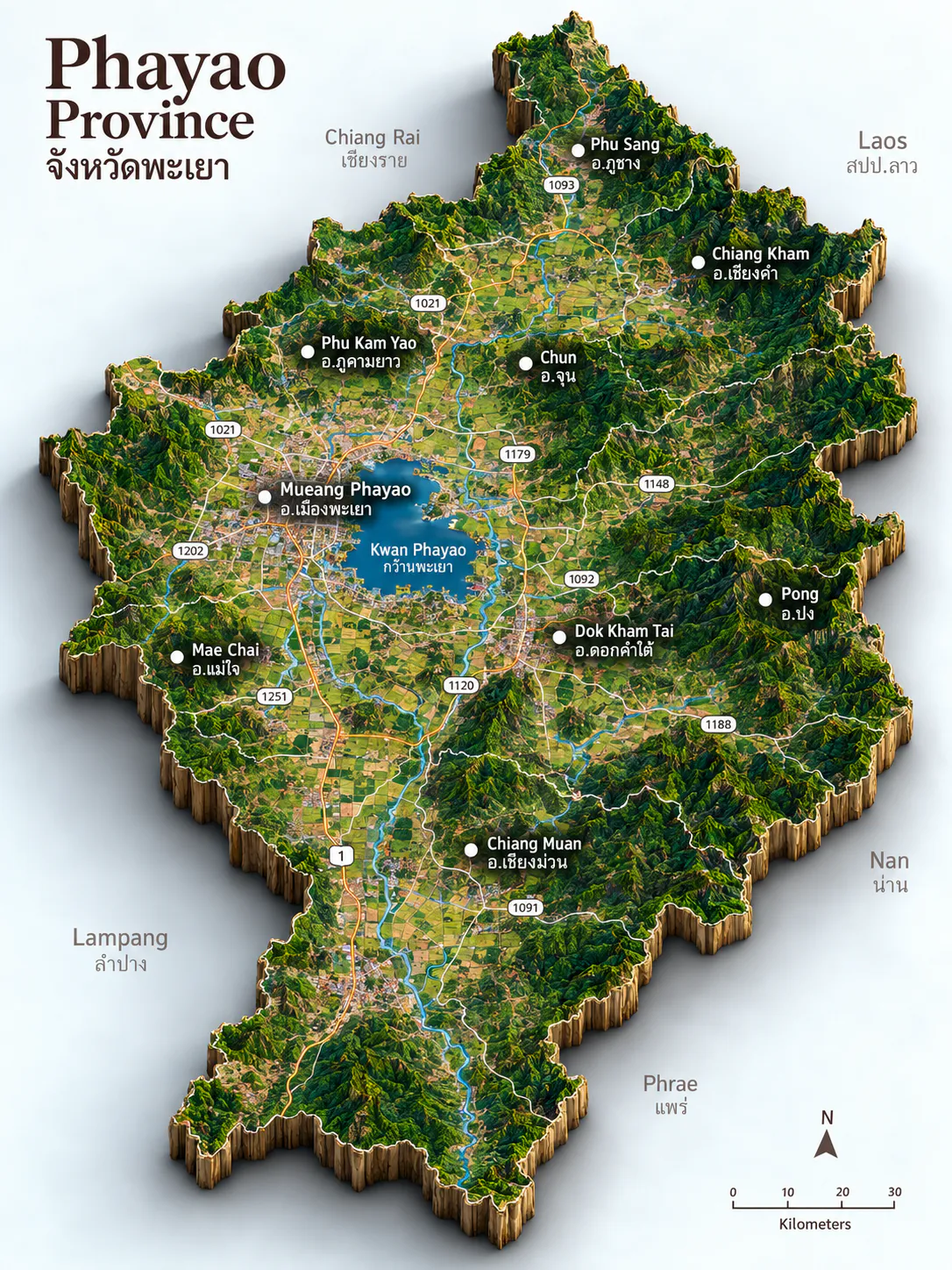
Phayao sits in upper Northern Thailand, about 6,335 square kilometres of plateau and mountain between Chiang Rai, Nan, Phrae, and Lampang, with a short northeastern border facing Laos. The Phi Pan Nam Range runs north to south through the province, lifting the land from roughly 300 to 1,500 metres. Three big peaks frame the main valley — Doi Luang at about 1,694 metres, Doi Khun Mae Fat at 1,550, and Doi Khun Mae Tam at 1,330 — while more than half the province remains forested.
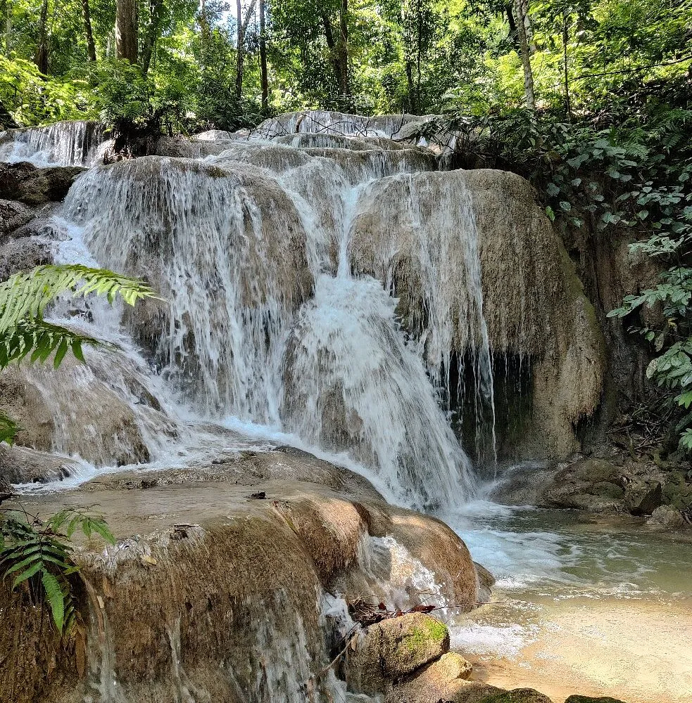
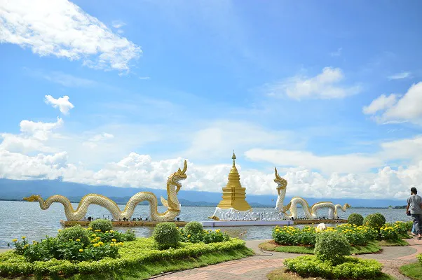
At the heart of it all is Kwan Phayao, the great freshwater lake of the Ing River valley and the largest freshwater fishery in the upper north. The town of Phayao gathers along its shores, where evenings turn gold over the water and motor boats are kept off the lake to protect its quiet. National parks such as Doi Phu Nang, Doi Luang, Mae Puem, Phu Sang, and Tham Sakoen stretch the province from misty ridges to warm forest trails, spanning both the Mekong and Chao Phraya river basins.
The climate follows the northern monsoon. November to February brings the cool, clear dry season — the classic window for lake walks and mountain mornings. March to May is the hot stretch, when the hills and forests offer the kinder escape. Rains arrive from about May to October, greening the valley and filling the parks; August is often the wettest month.
Best time: November – February for cool lake evenings, clear mountain light, and golden sunsets over Kwan Phayao; March – May for highland shade; May – October for lush parks, fuller wetlands, and quieter lakeside days.