

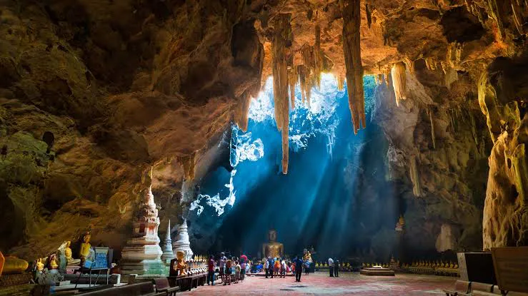
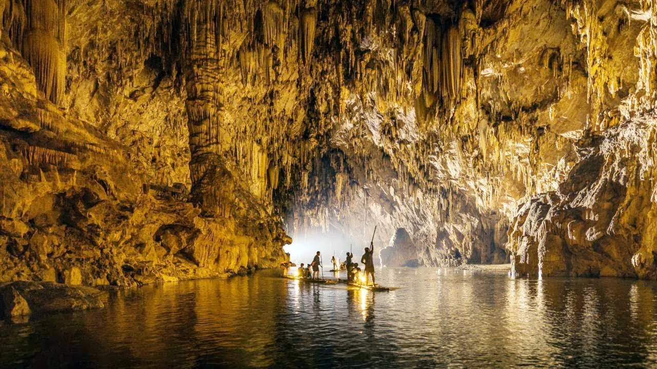
National Park Preparation Area · Chiang Rai
Tham Luang–Khun Nam Nang Non National Park
ถ้ำหลวง–ขุนน้ำนางนอน
Ancient Limestone Mountains, Hidden Caves and the Story That Brought the World to Chiang Rai
Mae Sai · Northern Thailand
Forested limestone, hidden passages and a freshwater wetland in Mae Sai — and the cave the world watched in 2018.
A Mountain with Two Worlds
In northern Chiang Rai, a dramatic limestone range rises above the landscape of Mae Sai. From the outside it is forest, cliffs, streams and freshwater wetland. Beneath the surface is a more complex world of caves and underground passages.
This is Tham Luang–Khun Nam Nang Non (ถ้ำหลวง–ขุนน้ำนางนอน), one of northern Thailand’s most remarkable natural and historical landscapes.
The destination became internationally famous in 2018, when twelve young football players from the Wild Boars Academy Mae Sai and their coach became trapped inside Tham Luang after heavy rainfall caused floodwater to block their route back to the entrance. The rescue that followed brought together Thai authorities, international cave divers, medical teams, military personnel, rescue specialists, volunteers and local communities.
Tham Luang is much more than the site of that event. The range is an important limestone karst landscape, with caves, forests, freshwater systems and specialised habitats. It also carries a strong local identity associated with the legendary Nang Non, the “Sleeping Woman,” whose shape is said to be visible in the mountain ridge.
Geology, nature, local culture and modern history — in one northern landscape.
At a Glance
- ~19.2 km²
- Approximate area — about 12,000 rai of interconnected limestone mountains.
- 300–1,410 m
- Elevation, with slopes of roughly 30–70 degrees.
- Doi Nang Non
- The Sleeping Woman ridge that holds the caves.
- Preparation area
- DNP describes it as a national park preparation area.
- 2018
- The Wild Boars cave rescue, an 18-day ordeal.
- Location
- Mae Sai District, Chiang Rai Province
- Region
- Northern Thailand
- Protected-area status
- National Park Preparation Area · อุทยานแห่งชาติเตรียมการ
- Approximate area
- 12,000 rai / about 19.2 km²
- Mountain range
- Doi Nang Non · ดอยนางนอน
- Landscape
- Limestone mountains, karst, forests, caves, streams and wetlands
- Signature attraction
- Tham Luang Cave · ถ้ำหลวง
- Other attractions
- Khun Nam Nang Non, Tham Phra, Tham Liang Pha, Tham Phaya Naga
- Known for
- The 2018 Wild Boars cave rescue
The Department of National Parks describes the area as approximately 12,000 rai, largely interconnected limestone mountains running roughly north–south.
A Note on the Official Status
ThailandLover uses the familiar English name Tham Luang–Khun Nam Nang Non National Park because this is the name travellers search for.
The official DNP description identifies the area as an อุทยานแห่งชาติเตรียมการ — National Park Preparation Area. DNP has been progressing the process toward formal national-park designation, including boundary surveys and the required documentation. Thailand has a formal legal process for establishing national parks, and that distinction matters.
Doi Nang Non: The Sleeping Woman
ดอยนางนอน · the mountain comes first
The mountain is the first thing to understand about Tham Luang. Doi Nang Non means approximately “Sleeping Woman Mountain.” Viewed from certain angles, the long ridge is traditionally interpreted as a woman lying down. The landscape has a cultural identity beyond its physical geography.
The mountain is also known locally as Doi Ya Thao (ดอยยาเฒ่า), and the surrounding country is associated with stories and beliefs concerning Nang Non. These legends belong to the cultural heritage of the area. They are not geological explanations.
What is scientifically clear is that the mountain is dominated by limestone karst. That geology is why the area contains so many caves.

The Geology of Tham Luang
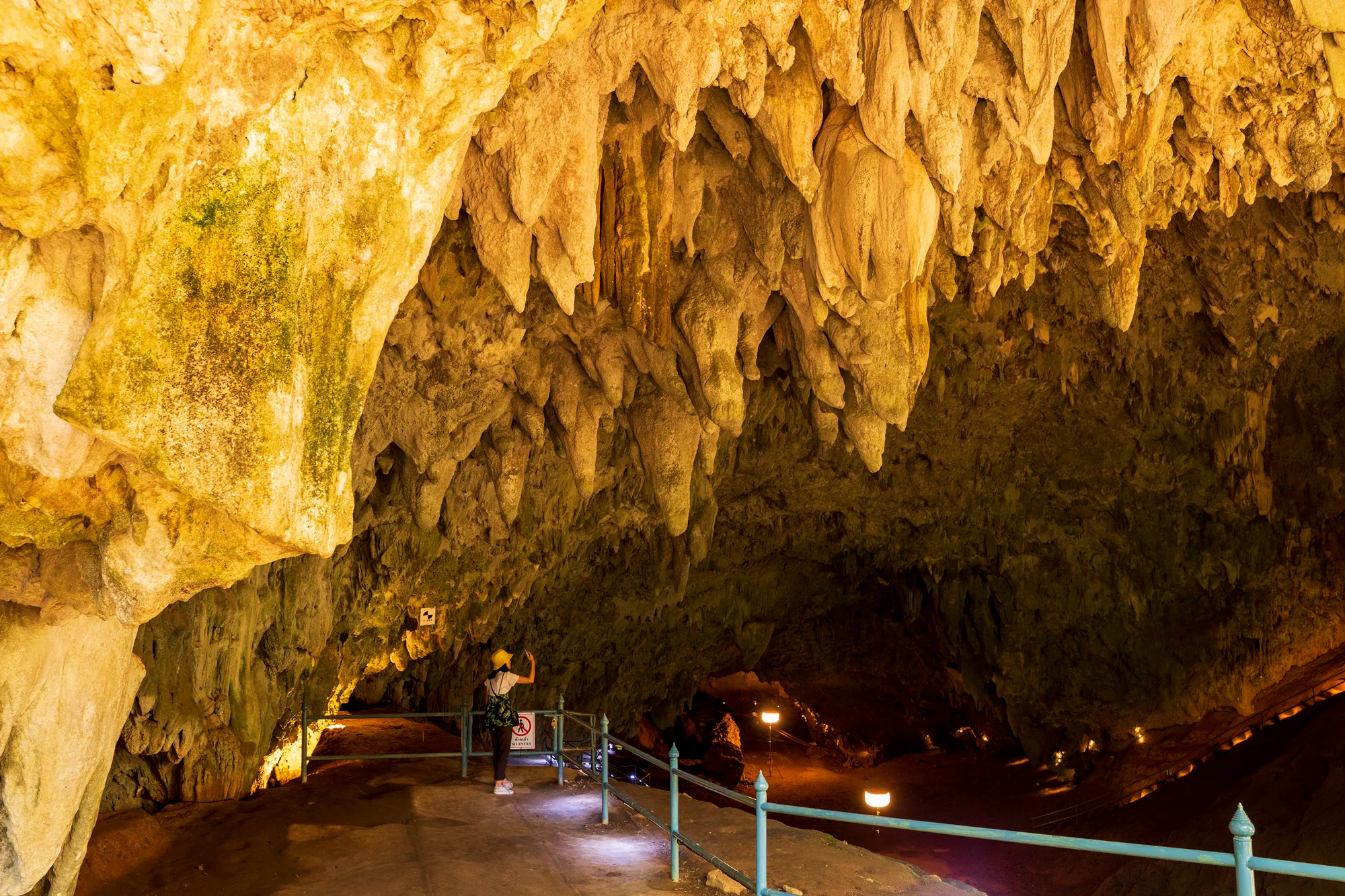
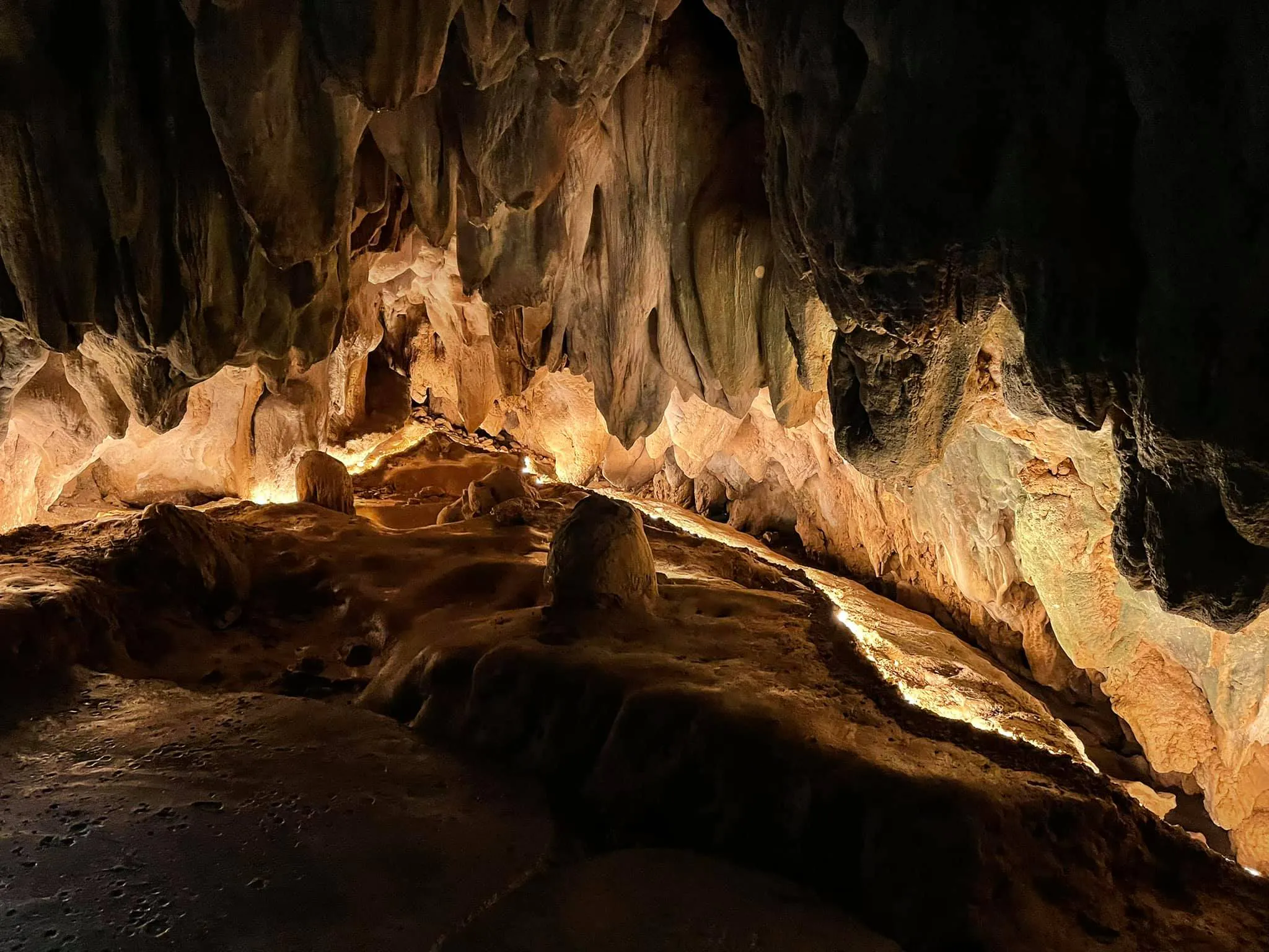
Tham Luang is fundamentally a karst landscape. Karst develops where water interacts with soluble rock, particularly limestone, over very long periods. Rainwater enters cracks and fractures. Over geological time those pathways enlarge into cavities, passages and drainage systems.
The result is a landscape with two very different worlds.
Above ground
- Forest
- Limestone mountains
- Cliffs
- Streams
- Wetlands
- Wildlife habitats
Below ground
- Caves
- Underground passages
- Rock formations
- Water channels
- Dark, specialised environments
DNP identifies the Tham Luang landscape as predominantly limestone or karst terrain, and notes that caves are a characteristic feature of this geology.
The famous cave is part of a much larger geological system.
Tham Luang Cave
ถ้ำหลวง · the cave that put northern Thailand on the world map
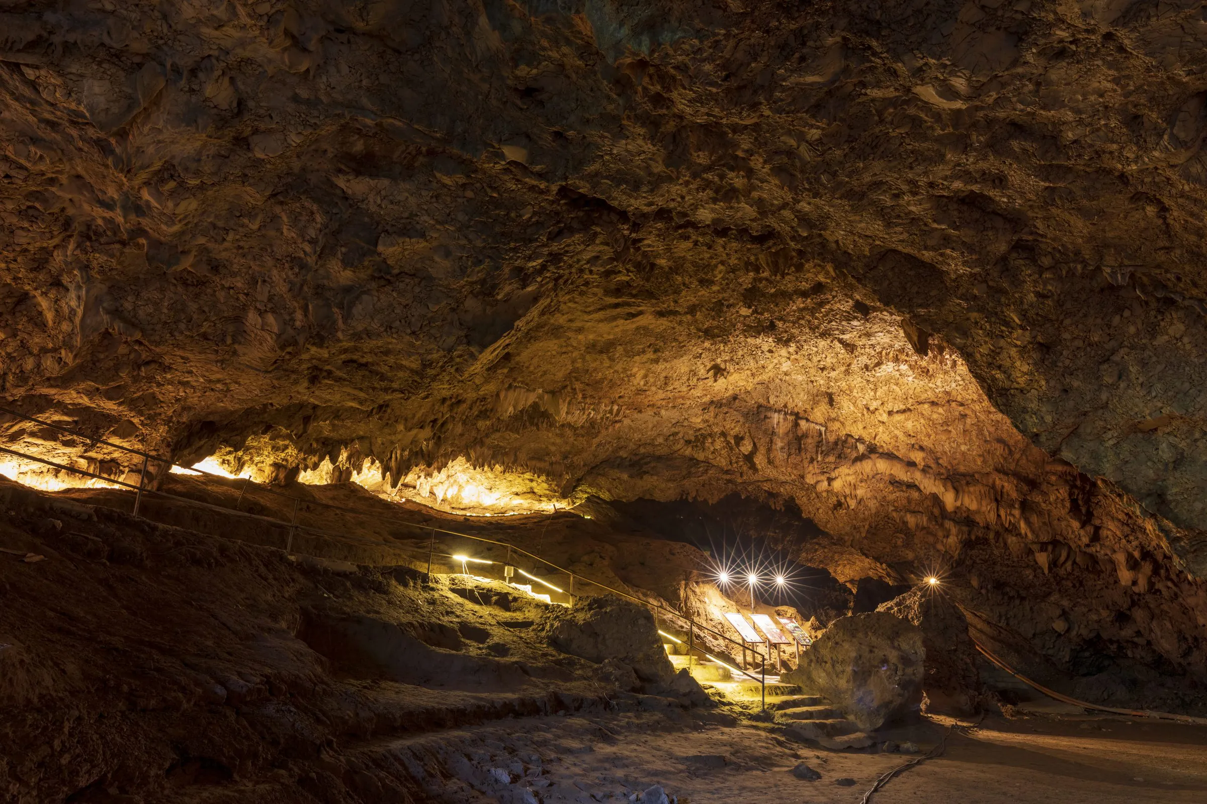
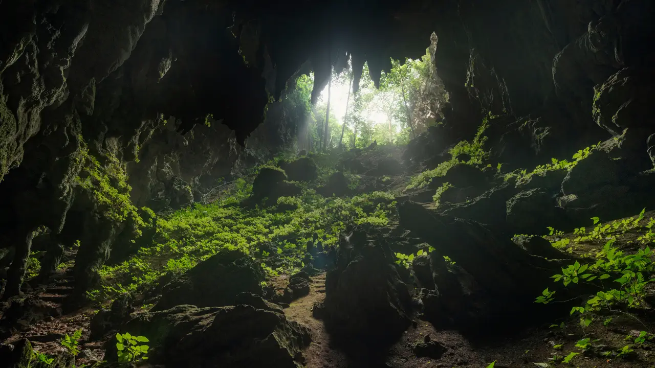
Tham Luang is the destination’s most internationally recognised natural feature. It extends beneath the limestone of Doi Nang Non and contains a complex system of chambers and passages.
Unlike a conventional tourist cave with a permanently established walking route, Tham Luang is strongly affected by seasonal water. During heavy rainfall, water can enter the system and change underground conditions dramatically. Cave access is fundamentally different from visiting a viewpoint, a temple or a waterfall.
DNP has noted that the cave ecosystem is fragile and that some areas inside are difficult to reach. Tourism needs careful management for visitor safety and long-term conservation.
Can You Enter Tham Luang?
Access is not something visitors should assume is unrestricted. The park has developed controlled visitor experiences in selected sections.
In December 2023, DNP announced guided access to Chamber 3, approximately two kilometres from the cave entrance. Visitor groups were limited to 10–12 people including a guide. Chamber 3 was particularly significant because it had served as an operational base during the 2018 rescue.
That does not mean the entire cave system is open for independent exploration. Access can change because of:
- Rainfall
- Water levels
- Safety conditions
- Conservation requirements
- Route management
- Maintenance
- Official restrictions
The Wild Boars: What Happened in 2018
They were not lost in the forest
The Wild Boars entered the cave.
On 23 June 2018, twelve young football players from the Wild Boars Academy Mae Sai (อะคาเดมีหมูป่า แม่สาย) and their coach went into Tham Luang. Heavy rainfall caused water to rise inside the system. The flooding blocked their route back toward the entrance, leaving all thirteen people trapped underground.
What began as an ordinary visit became an international rescue emergency. The group was located deep inside the cave on 2 July 2018. They were brought out during a carefully coordinated operation that concluded on 10 July 2018. DNP’s later commemorations describe the episode as an 18-day ordeal.
They were not lost in the jungle. They were trapped inside a flooded cave system.
The Rescue That United the World
The operation required an extraordinary level of cooperation. Thai authorities worked with international cave divers, rescue specialists, medical teams, military personnel, engineers, volunteers, local communities and experts from several countries.
The complexity came from the cave itself. Floodwater had blocked sections of the passage, and the underground environment was dark, narrow and difficult to navigate. The rescue required people who understood cave diving, underground navigation, water management, medicine and emergency logistics.
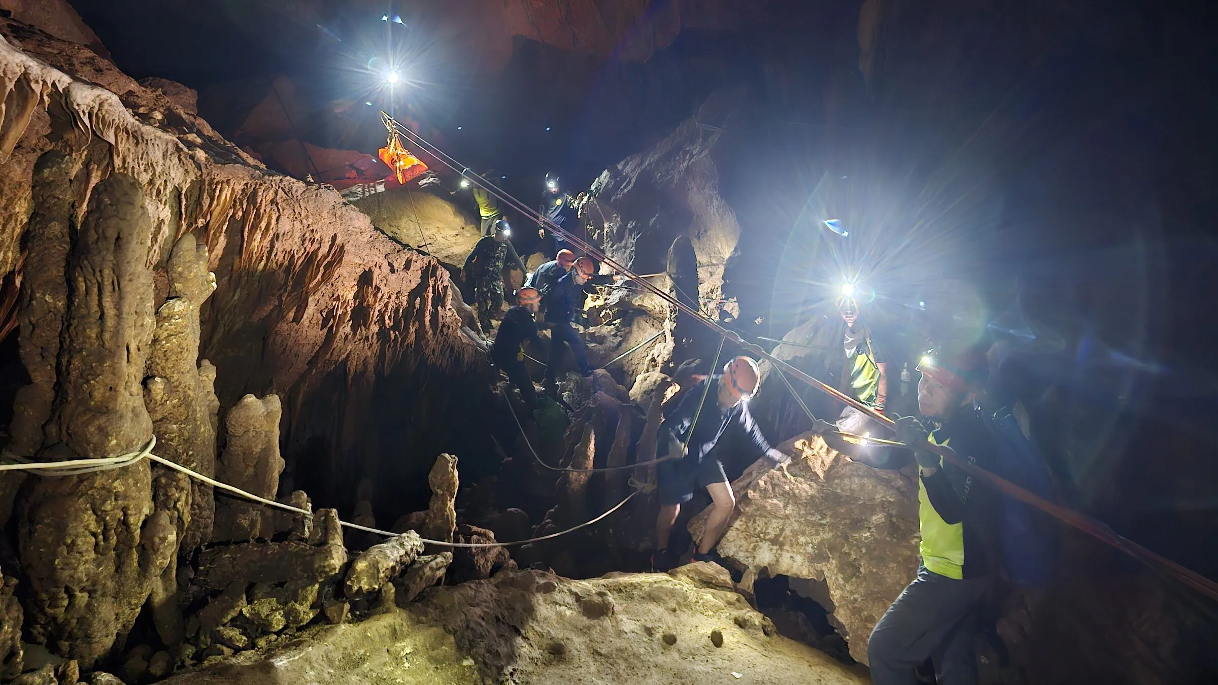
DNP has described the event as a historic rescue involving international experts and large numbers of volunteers. It became one of the most widely followed rescue operations in modern history.
The Human Cost: Saman Gunan
The successful rescue came with a tragic loss. Petty Officer First Class Saman Gunan (สามาน กุนัน), often written Saman Kunan and known internationally as Sergeant Sam, was a former Thai Navy SEAL who volunteered to support the rescue. He died while taking part in the operation.
His sacrifice is permanently associated with the history of Tham Luang. The area now includes memorial elements dedicated to those involved, and annual commemorative events continue to remember the people who contributed.
The memorial is not another tourist attraction. It represents a real human cost behind an event that ended successfully for the thirteen people trapped inside.
A Small Story Behind the Headlines
The global headlines made 2018 seem larger than life. The beginning was remarkably ordinary. A group of young football players and their coach went into a familiar cave after football. Then the weather changed. Rainwater entered the cave. The route home disappeared.
For the next eighteen days, their survival depended on a rescue involving people from Thailand and around the world.
Water can move through a limestone cave in ways that are difficult to predict from the surface.
Khun Nam Nang Non
ขุนน้ำนางนอน · water, wetland and forest
The destination is not only about caves. Khun Nam Nang Non is the freshwater side of the landscape, at the foot of the mountain system. DNP lists it among the principal attractions, alongside Tham Luang, Tham Phra, Tham Liang Pha and Tham Phaya Naga.
One of the best-known features is the Khun Nam Nang Non Emerald Pool, whose clear greenish water belongs to the local freshwater and limestone environment. The ground around the water is a useful place to see how the mountains relate to the ecosystems below them. The same geology that produces caves also shapes groundwater and freshwater habitats.
Freshwater Wetland and Forest
The ecological importance of Tham Luang extends beyond its caves. The area contains freshwater wetland and swamp-forest habitats that support specialised plants and animals. Wetland is easy to overlook when the eye stays on the limestone mountains.
The parts of the landscape connect in one sequence:
- Limestone mountains
- Rain falls on Doi Nang Non.
- Rainwater infiltration
- Water enters cracks in the rock.
- Underground drainage
- Passages carry that water through the karst.
- Freshwater emergence
- Water returns to the surface at the foot of the range.
- Wetland and forest
- Specialised habitats form where that water gathers.
The cave and the wetland are one story, joined by the same landscape.
The Red-Clawed Flower Crab
One of the area’s more unusual ecological features is the red-clawed flower crab, locally known as ปูดอกข้อแดง. DNP has identified this species as an important feature of the area and has developed a nature-study route associated with its habitat.
It is a good example of why the destination should not be reduced to its famous cave. Some of the most interesting natural assets are small and easy to miss.
Tham Liang Pha
ถ้ำเลียงผา
Tham Liang Pha is one of the cave-related attractions within the wider protected landscape. DNP has also been working on visitor development for routes linking Tham Liang Pha and Tham Phaya Naga, with interpretation connected to the natural environment and local legends.
These are not alternative versions of Tham Luang. Each cave and route is part of the wider karst. Availability and visitor arrangements may change as routes are developed and managed.
Tham Phaya Naga
ถ้ำพญานาค
Tham Phaya Naga is another cave identified by DNP. The name reflects the connection between this landscape and traditional beliefs about caves, mountains and supernatural beings in northern Thai culture.
Phaya Naga refers to the naga, a legendary serpent-like being deeply embedded in Buddhist and Southeast Asian tradition. ThailandLover treats these stories as cultural interpretation, not as literal geology. Limestone formations and local mythology together are one of the distinctive characteristics of Doi Nang Non.
Tham Phra
ถ้ำพระ
Tham Phra is another cave among the area’s visitor attractions. The name refers to Buddhist imagery or religious associations within the cave.
Tham Luang, Tham Phra, Tham Liang Pha and Tham Phaya Naga show that this is not a single-cave destination. It is a landscape of limestone, caves, forest, water and cultural interpretation.
Local Legend and the Nang Non Story
The cultural identity of Doi Nang Non is inseparable from the legend of Nang Non. The mountain’s long silhouette is traditionally read as a woman lying down. Local stories connect the mountain and the caves with a princess or woman whose tale became part of the region’s identity. Different versions exist.
ThailandLover presents these stories as local folklore and cultural tradition, rather than as historical fact. That distinction makes the story more interesting. It shows how people have interpreted this landscape across generations.
Why the Landscape Is Environmentally Sensitive
Caves are not empty spaces inside mountains. They contain specialised ecosystems that can be highly sensitive to changes in water level, temperature, humidity, light, human activity, waste, noise and physical disturbance.
DNP has described the cave ecosystem at Tham Luang as fragile, and has emphasised the need to balance tourism with conservation and visitor safety. The site draws visitors for its natural value and for its modern history. That combination creates strong tourism pressure. Responsible management is essential.
When to Visit
Northern Thailand has three broad seasonal patterns.
- November – February · Cool season
- Generally the more comfortable months for outdoor sightseeing in Chiang Rai. The surrounding mountains and forests are particularly attractive.
- March – May · Hot season
- Temperatures are higher. Plan outdoor time around the heat, and stay aware of seasonal air-quality conditions that can affect northern Thailand.
- June – October · Rainy season
- Greener landscapes and stronger water flow. This is also when cave conditions need particular caution. Heavy rainfall can change underground water levels quickly.
Cave access should always be treated as conditional, not guaranteed.
How Much Time Do You Need?
- Half day
- Enough to see the main Tham Luang area, understand the 2018 rescue and explore the principal visitor facilities.
- Full day
- Better if you want Tham Luang, Khun Nam Nang Non, nature-study areas, the memorial and interpretation, and something of Mae Sai.
- Two days
- Useful when Tham Luang is part of a broader northern Chiang Rai itinerary, including Mae Sai, Doi Tung and other places in the region.
A ThailandLover One-Day Itinerary
- 08:30 — Arrive at Tham Luang
- Begin with the landscape. Look at Doi Nang Non. Understand the mountain. Then explore the visitor area.
- 09:00–11:00 — Tham Luang
- Stay with the areas officially open. Learn the cave system, the limestone, the 2018 rescue, Saman Gunan and cave conservation. If guided access is operating, follow the official route and the guide.
- 11:30 — Khun Nam Nang Non
- Move to the freshwater side. Watch how water, forest and mountain sit together. It is a different perspective from the cave.
- 13:00 — Lunch in Mae Sai
- Northern Thai food is part of the regional experience.
- Afternoon — Mae Sai
- Use the rest of the day in Mae Sai and its surroundings. That is a better pace than rushing several cave routes into one afternoon.
Photography Guide
Tham Luang is a destination where context is more powerful than spectacle. The strongest photographs often combine the landscape and the human story. A good ThailandLover photograph should make the viewer curious about the land.
Photograph
- Doi Nang Non from a distance
- Limestone cliffs
- The cave entrance
- Forest around the visitor area
- Khun Nam Nang Non
- Wetland environments
- Memorial areas
- Geological details
Leave alone
- Restricted areas
- Sensitive locations without permission
- Cave formations — do not touch them
- Flash where it is prohibited
- Memorials used as entertainment props
Travelling with Children
Tham Luang can be meaningful for families because it combines nature, geology and a real historical event. Children can learn about caves, mountains, rainfall, underground water, wildlife, conservation, teamwork and international cooperation.
The 2018 story should be explained for the child’s age. Present the destination as a lesson in nature, preparation, cooperation and rescue, rather than as a frightening disaster story.
Responsible Travel at Tham Luang
This is a sensitive cave and conservation environment. Follow official instructions.
- Stay out of restricted areas
- Cave restrictions exist for safety and for conservation.
- Never enter a cave in unsafe weather
- An entrance may look calm while conditions deeper inside are changing quickly.
- Do not touch cave formations
- Even small contact can damage formations that took an extremely long time to develop.
- Do not collect rocks or natural objects
- Leave the landscape as you found it.
- Do not feed wildlife
- Feeding changes animal behaviour and can damage the ecological balance.
- Stay on designated routes
- DNP’s visitor rules prohibit leaving designated routes and emphasise protecting natural resources.
- Respect the memorials
- The 2018 rescue involved real people, including a rescuer who lost his life.
What Makes Tham Luang Different?
Thailand has many beautiful caves, limestone mountains, forests and wetlands, and many places tied to important events. Tham Luang is unusual because these elements exist together.
- A geological landscape
- Limestone and karst created the caves.
- An ecological landscape
- Forests, wetlands and freshwater systems support specialised life.
- A cultural landscape
- Doi Nang Non and its caves are tied to local legends and beliefs.
- A historical landscape
- The 2018 rescue became an international event.
The Correct Story of 2018
For international visitors, this is the simplest account:
They did not become lost in the forest. They became trapped inside the cave because floodwater blocked their way out. DNP’s later commemorations describe an 18-day period and continue to recognise the international cooperation and the sacrifice involved.
The Legacy of 2018
The rescue changed Tham Luang permanently. Before 2018 it was primarily a natural and local cultural destination. After 2018 it became globally recognised.
DNP subsequently developed visitor infrastructure, interpretation and tourism-management initiatives so people can learn about the event while the natural environment is protected. Facilities associated with the site include the United as One area, geological interpretation and nature-study infrastructure.
Tell the story. Protect the place.
That balance is central to the future of Tham Luang tourism.
Quick Take
- Come for
- Tham Luang, Doi Nang Non, Khun Nam Nang Non, limestone geology, cave ecology and the history of the 2018 rescue.
- Best for
- Nature travellers, families, photographers, geology enthusiasts, history enthusiasts and anyone exploring northern Chiang Rai.
- Don’t miss
- Tham Luang, the Doi Nang Non landscape, Khun Nam Nang Non, and the memorial and interpretation of the 2018 rescue.
- Know before you go
- Cave access is controlled and conditions change. Do not assume every chamber or route is open.
- The key story
- The Wild Boars were not lost in the forest. They entered Tham Luang and became trapped when floodwater blocked their way out.
- ThailandLover tip
- Understand the landscape before you focus on the famous rescue. Once the mountain, the water and the cave make sense, the significance of 2018 becomes much clearer.
Essential Information
- Official area
- Tham Luang–Khun Nam Nang Non National Park Preparation Area
- Thai name
- ถ้ำหลวง–ขุนน้ำนางนอน · อุทยานแห่งชาติเตรียมการ
- Province
- Chiang Rai
- District
- Mae Sai
- Approximate area
- 12,000 rai / about 19.2 km²
- Elevation
- About 300–1,410 metres above sea level
- Main landscape
- Limestone karst mountains, forests, caves, streams and freshwater wetland
- Main attraction
- Tham Luang Cave
- Other attractions
- Khun Nam Nang Non, Tham Phra, Tham Liang Pha, Tham Phaya Naga and the red-clawed flower crab nature-study area
- Historical event
- Twelve Wild Boars youth football players and their coach became trapped inside Tham Luang in June 2018 after flooding blocked their exit. All thirteen were subsequently rescued.
- Cave access
- Controlled, and subject to official safety and conservation conditions
- Visitor information
- Check the latest official park announcement before travelling, particularly for cave access, individual trails and seasonal conditions
Frequently Asked Questions
- What is Tham Luang–Khun Nam Nang Non?
- A limestone karst landscape in Mae Sai, Chiang Rai, of about 12,000 rai (19.2 km²) on Doi Nang Non. DNP describes it as a national park preparation area. Travellers know it for Tham Luang Cave, Khun Nam Nang Non and the 2018 Wild Boars rescue.
- Is it an official national park?
- The travel name is Tham Luang–Khun Nam Nang Non National Park. Officially, DNP identifies a national park preparation area — อุทยานแห่งชาติเตรียมการ — while the formal designation process continues.
- What happened in 2018?
- On 23 June, twelve Wild Boars players and their coach entered Tham Luang. Floodwater blocked the way out. They were found on 2 July and rescued by 10 July. They were trapped in the cave. They were not lost in the forest.
- Can visitors enter the cave?
- Access is controlled. In December 2023, DNP announced guided visits to Chamber 3 in groups of 10–12 including a guide. Conditions change with rain, water level, safety and conservation. Check the latest official announcement.
- When is the best time to visit?
- November to February is generally the most comfortable season in Chiang Rai. June to October is greener, and cave conditions need extra caution.
- How long should I spend?
- Half a day for the main visitor area. A full day if you add Khun Nam Nang Non and Mae Sai. Two days if Tham Luang sits inside a wider northern Chiang Rai trip.
More of Chiang Rai’s Wild Parks
- Phu Chi Fa National Park
- The province’s famous cliff-edge sunrise, farther east along the northern ridges.
- Lam Nam Kok National Park
- Waterfalls, hot springs and forest along the Kok River system.
- Khun Chae National Park
- Forested mountain ridges and mist in Chiang Rai’s high country.
- Doi Luang National Park
- A large mountain park shared by Chiang Rai, Phayao and Lampang.
- Mae Puem National Park
- Forest and water on the Chiang Rai–Phayao edge.
Location
Find Tham Luang–Khun Nam Nang Non
Mae Sai District, Chiang Rai · the limestone of Doi Nang Non, above the cave and the freshwater at its foot