


Preparatory Area · Chiang Mai
Mae Tho National Park
อุทยานแห่งชาติแม่โถ (เตรียมการ)
The Mountain Grasslands Above the Mae Chaem Valley
Hot · Mae Chaem · Doi Mae Tho
High ridges, open grassland, forest headwaters and highland communities — a landscape still being established, and already worth understanding.
Open Enough to Feel Impossible
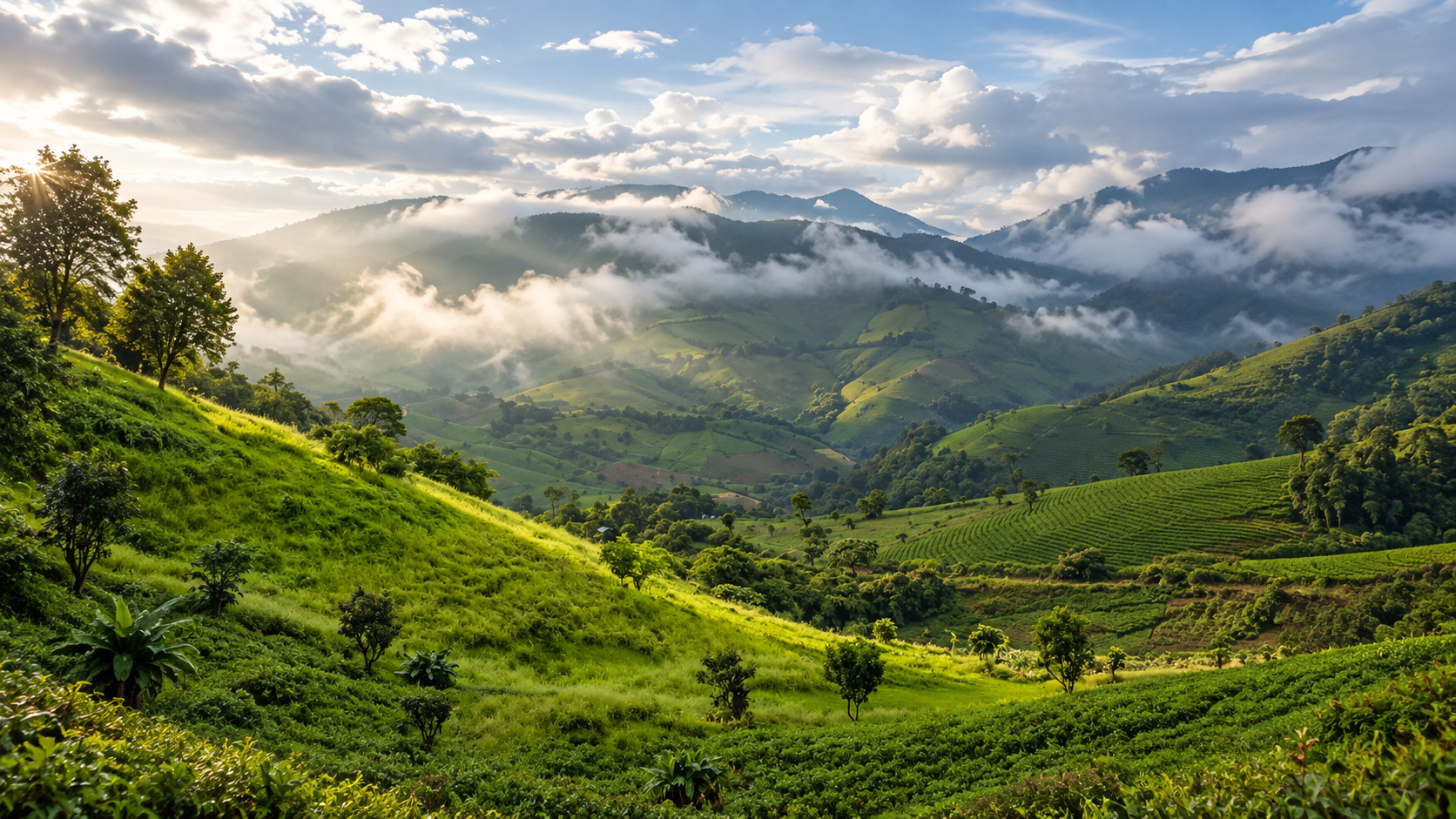
There are places in northern Thailand where the country feels almost impossibly open. Mae Tho is one of them. High above the valleys of southern Chiang Mai, the mountains rise into grass-covered ridges, deep forest, waterfalls and remote highland communities. On a clear day the view runs in every direction: layered ranges, agricultural valleys, forested ridges, and distant peaks toward the heart of the north.
The photograph is not the whole point. The forests here are a headwater landscape. Streams begin on these slopes and eventually join the Mae Chaem, which belongs to the wider Ping basin. Mountain ecology, watershed protection, highland agriculture and community life sit side by side. That is what makes Mae Tho interesting for ThailandLover.
The mountain scenery is beautiful because the forest is doing something important.
First: What This Place Is
Despite the name, Mae Tho should currently be treated as a national park preparatory area, not as a fully gazetted national park. It does not yet have the same legal status as Doi Inthanon or Mae Takhrai. Boundaries, facilities, visitor rules and official tourism status can still change.
The Department of National Parks has been working toward establishment for years, including surveys of Pa Khun Mae Lai Forest Reserve in Hot and Pa Mae Chaem Forest Reserve in Mae Chaem. In October 2022 it announced a consultation on a proposed area of about 270,889 rai, or roughly 433 square kilometres. The landscape was considered suitable because of forest, headwaters and wildlife habitat.
At a Glance
- Preparatory
- Not a finished gazette. Do not write it as if it already is.
- ~433 km²
- About 270,889 rai in the 2022 establishment consultation. A proposal, not a completed decree.
- ~1,700 m
- Doi Kiew Rai Mong / Doi Kiew Rai Mhong area — the high ground associated with the landscape.
- Check June–September
- Principal sites have been seasonally closed in some years. Never assume access.
- Thai name
- อุทยานแห่งชาติแม่โถ (เตรียมการ)
- Province
- Chiang Mai
- Districts
- Hot and Mae Chaem
- Landscape
- Mountain ranges, highland grasslands, forests, valleys and waterfalls
- Watershed
- Headwaters of the Mae Chaem system, toward the Ping basin
- Signature view
- Mae Tho viewpoint and the Doi Mae Tho grasslands
- Signature waterfall
- Mae Aep Waterfall · น้ำตกแม่แอบ
- Also identified
- Doi 60 Mon · Tham Luang Mae Toom
- Best general season
- November–February
- Character
- Remote, mountainous, watershed-rich, community-connected
South of the City, Above the Valley
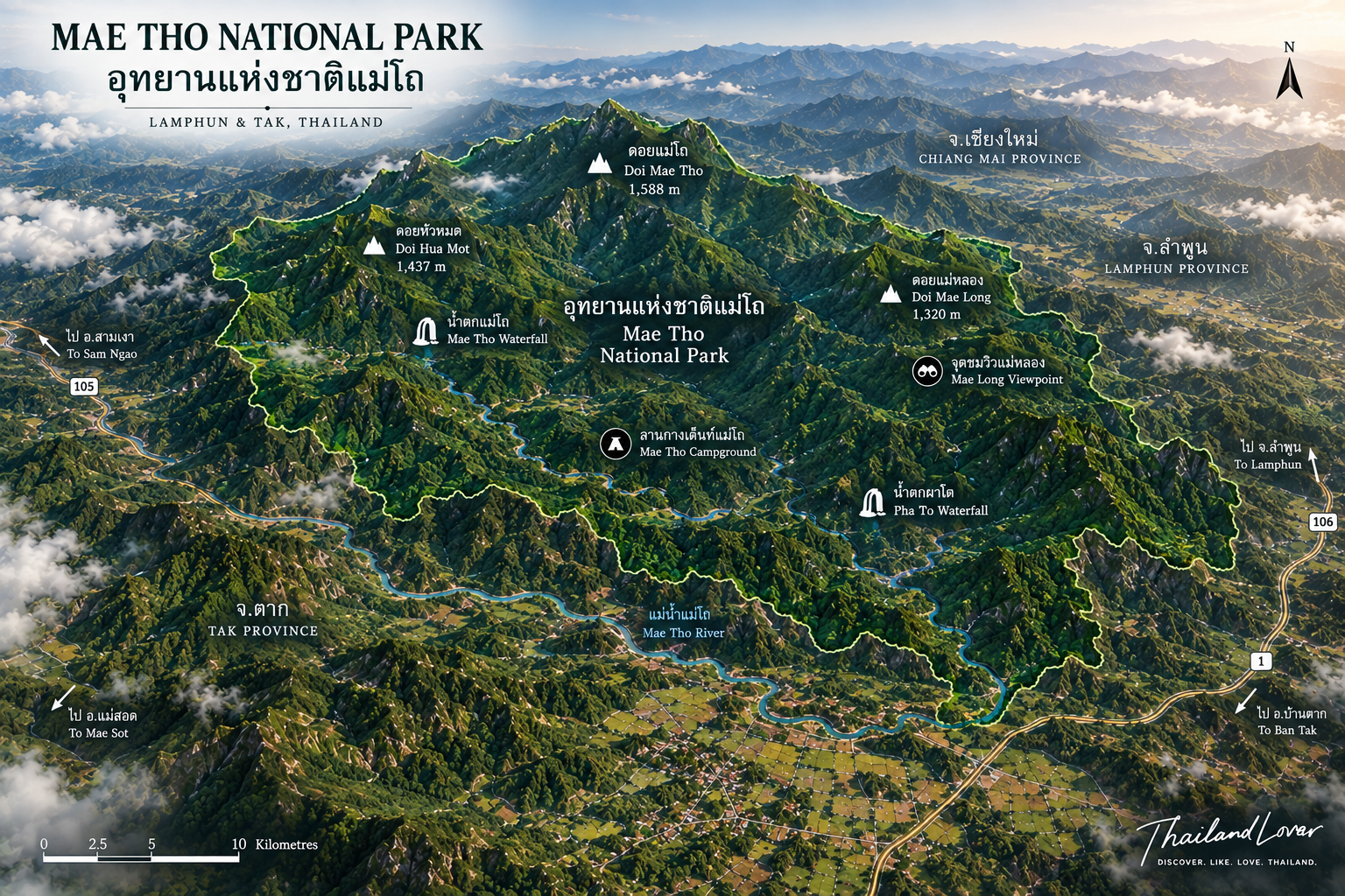
Mae Tho lies in the mountains between Hot and Mae Chaem, in one of the great ridge systems south and southwest of Chiang Mai. It is considerably more remote than the tourist country around the city. That remoteness is part of the attraction. This is not a stop for an hour. It is a highland journey through southern Chiang Mai.
The terrain is complex: steep valleys, ridges, highland plateaus. Higher ground can be cool and exposed. Valleys below support agriculture and settlement. Over a short distance the climate and the forest both change. That vertical country is why Mae Tho can feel so different from the Chiang Mai basin.
The Department of National Parks has identified waterways including Huai Mae Kueng, Huai Mae Khee Muk, Huai Mae Ka, Huai Mae Ju, Huai Mae Aep, the Mae Toom River, Huai Om Sung, Huai Kong La and Huai Kong Kae. They contribute to the Mae Chaem, and through it to the Ping. A mountain such as this does not exist only for the person standing on the ridge.
A Mosaic, Not One Forest
- Hill evergreen
- Higher, cooler, wetter slopes. Important for watersheds and highland wildlife.
- Dry evergreen
- Seasonal moisture, but the green holds. A transition between wetter highland forest and more seasonal communities.
- Pine
- Part of the highland character. The road through the trunks is already a landscape.
- Mixed deciduous
- Leaves fall in the dry season. The same hillside becomes a different picture.
- Dry dipterocarp
- Adapted to seasonal dryness, and vulnerable to wildfire when the north burns.
The Viewpoint, and the Grassland Beside the Name
The viewpoint around the Mae Tho headquarters is one of the significant scenic places associated with the area. Historical descriptions place the headquarters at about 1,200 metres, which is why mornings can feel much cooler than the Chiang Mai lowlands. From there the mountains fall into a broad valley. In the rains the fields go intensely green. Mist often sits in the valleys at dawn. On an exceptional clear day, the direction of Doi Inthanon may be visible. The view is not “a mountain.” It is forest, mountain, valley, agriculture and community in one frame.
When people say Mae Tho now, they often mean Doi Mae Tho — the open grass ridges and the so-called 360-degree view, sometimes called the Mae Tho Savannah. The openness is the identity that travelled on social media. You stand on an exposed ridge instead of inside a forest. That is striking. It is also a geographical distinction.
| What the name means | How ThailandLover uses it | |
|---|---|---|
| Mae Tho National Park | The proposed protected area in Hot and Mae Chaem | Preparatory. Not a finished park. |
| Doi Mae Tho | The mountain and highland tourism landscape | A signature view of the broader area |
| “Savannah” | A tourism name for open highland grassland | Visitor language, not an African ecosystem |
| Royal Project | Highland agriculture and community development | Related country. Not the park boundary. |
The Same Ridge, Three Weathers
- Rainy season
- The grass goes intensely green. Clouds move fast. Mist can form in the valleys. Soft, saturated, almost alpine — and often closed. See the access note below.
- Cool season
- Clearer air. Sunrise and sunset. Long views at their best. The grass is less violently green than in the rains. The atmosphere is the compensation.
- Dry season
- Gold and brown. Smoke can erase the horizon, especially in the burning season. The pictures online are usually not this season. Do not expect them.
Mist is weather, not a scheduled attraction. Because the viewpoints sit above the valleys, moisture can collect below the ridges and produce a ridge above the clouds, terraces appearing and disappearing. You cannot book it. Sunrise is usually the stronger photograph: cooler air, possible valley mist, low light across the layers. Sunset is warm and dramatic. The road down from an exposed mountain after dark is the part people forget. Do not assume a remote mountain road is a night drive.
What Else the Landscape Holds
- Mae Aep Waterfall · น้ำตกแม่แอบ
- One of the principal natural attractions officially associated with the area. Tourism information describes a relatively broad cascade, about 10–12 metres wide, in forest. The historical approach from the headquarters goes toward Ban Mae Aep, then about 1 kilometre on foot from the vehicle point. Road, trail, rain and seasonal closure all matter. This is not a roadside fall.
- Tham Luang Mae Toom · ถ้ำหลวงแม่ตูม
- The geological side: into the mountain rather than above it. Treat a cave visit as a specialist activity, not a walk-in stop. Conditions change with rainfall and underground water. Do not enter without checking access and following local or park instruction.
- Doi 60 Mon · ดอย 60 ม่อน
- One of four principal recreational attractions identified during the establishment process. It belongs to the mountain-and-viewpoint side. Route length, elevation, difficulty and facilities are not consistently documented. ThailandLover will not invent them. Confirm current local access.
Terraces, Karen Valleys, and the Royal Project
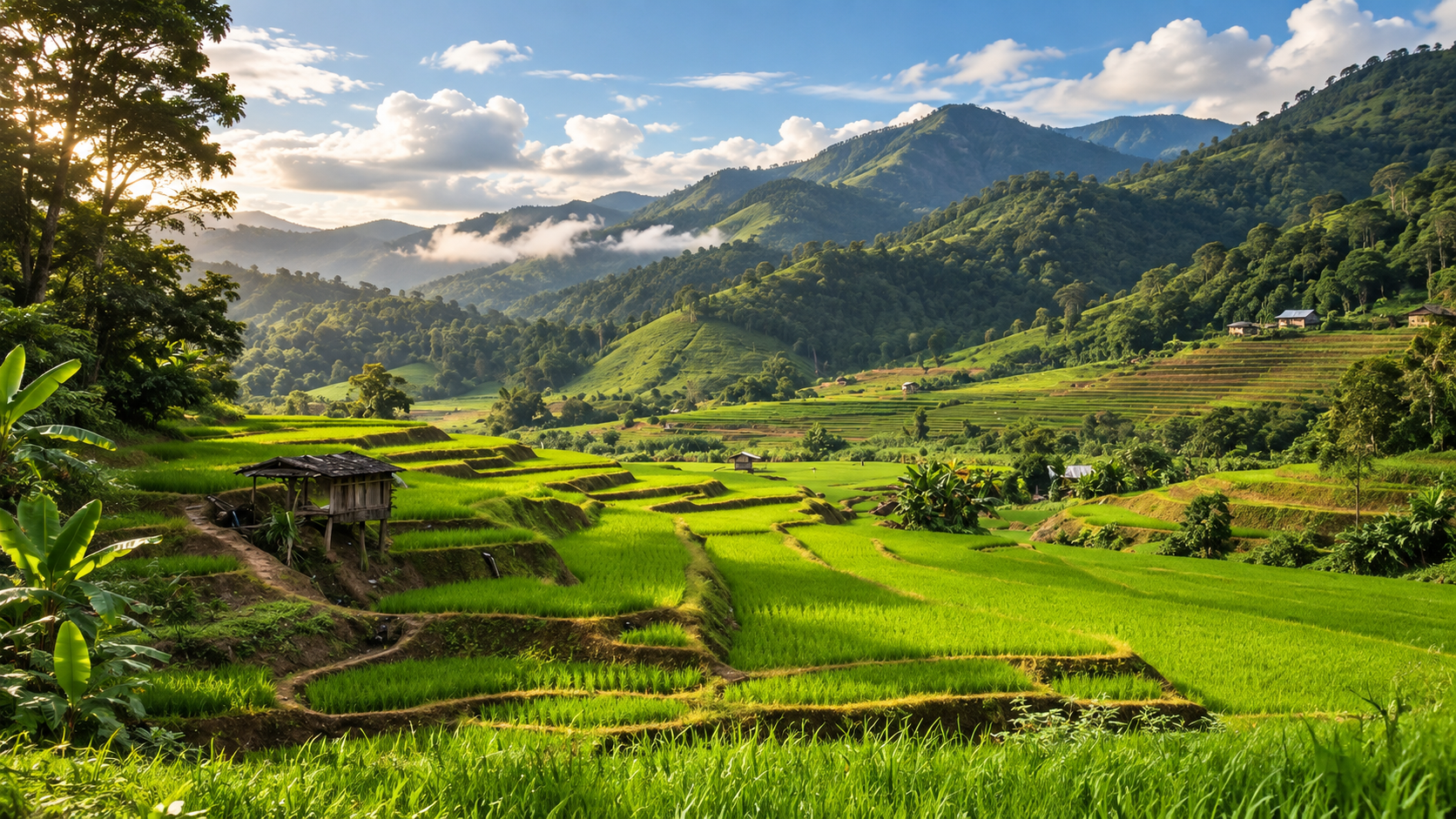
The fields below the viewpoints are not a backdrop. In the rains they go vivid green. As the rice matures they shift toward yellow and gold. They are the agricultural livelihood of highland communities. Karen communities are particularly associated with the valleys and rice landscapes around Mae Tho. People depend on the mountain for water and living. The forest protects the headwaters those livelihoods need. Mae Tho is not wilderness separated from people. It is a living cultural landscape.
The broader highland also connects with the Royal Project system and alternative highland agriculture. Visitors may see crops that do not belong to the lowland economy around Chiang Mai. Watershed conservation, farming, community development, forest protection, tourism and alternative livelihoods belong in the same sentence.
Park patrols have also reported กระโถนพระฤาษี, a rare and endangered plant. Rare plants are a reason to stay on designated routes, not a souvenir. Do not collect them.
Habitat, Not a Wildlife Park
Species reported from the area include barking deer, sambar, wild boar, gibbons, pig-tailed macaques, slow lorises, dhole, Malayan porcupines, pangolins, forest birds, reptiles, amphibians and insects. The Department of National Parks has cited wildlife habitat as one reason the area is suitable for protection. Sightings are not an attraction you can book. Observe quietly. Leave animals undisturbed.
When to Go
- November – February · best overall
- Cooler temperatures, clearer views, comfortable walking, sunrise and sunset, morning mist, drier trails than the rains. The grassland is less intensely green. The air is the reason to come.
- March – May · hot and hazy
- Grass goes yellow and brown. Visibility can collapse in smoke. Not the season ThailandLover would choose for a panoramic photograph. Dry forest is beautiful in its own way, and extremely vulnerable to fire. Follow fire restrictions without exception.
- June – October · green, and often closed
- Potentially the most beautiful season: lush grass, green terraces, cloud, stronger falls after rain. Also slippery roads, runoff, and the season when access has historically been shut. Official schedules have closed principal tourist sites from 1 June to 30 September in certain years. That is not a permanent rule for every future year. Never assume the green season is open.
A Road Trip, Not a Morning Dash
A commonly described route from Chiang Mai is Chiang Mai → Hot → Highway 108 toward Mae Sariang → the Kong Loi area → Highway 1270 toward Mae Tho. The last kilometres can be narrow, steep, tightly curved, short of roadside services, and hazardous in the wet. If you do not know northern mountain roads, a local driver is a better idea than a late start.
Travel time depends on the final pin. This is not a conventional morning trip back before lunch if you want sunrise, mist, the grassland, a waterfall and a community. Overnight is the sensible shape. Stay in a homestay, community lodging, a simple mountain room, or camp — and confirm that historical listings are still operating. Do not assume every viewpoint has toilets, electricity, food or a phone signal.
Food here is northern and highland, not a restaurant district: local rice, highland vegetables, simple dishes, community cooking. If you are in a homestay, eat what is prepared. That is the more meaningful meal.
Three Layers, Not One Viewpoint
- Layer 1 · The mountain
- Doi Mae Tho and the grasslands. The visual introduction.
- Layer 2 · The forest
- Mae Aep, forest routes, the watershed. The ecological dimension. Subject to current access.
- Layer 3 · The community
- Highland agriculture, local food, the Royal Project landscape. The human dimension.
A stronger two-day shape: Chiang Mai to Hot, Highway 108, Kong Loi, the highlands, grassland and sunset, then a local night. Next morning, mist if it comes, the viewpoint, a community or agricultural landscape, Mae Aep if it is open, then back toward Hot — or on to another southern Chiang Mai destination such as Op Luang or Doi Inthanon. That is a richer journey than driving several hours to photograph grass.
Mae Tho is not Doi Inthanon. Inthanon is Thailand’s highest mountain, with established park infrastructure and major attractions. Mae Tho is grassland, watershed forest, highland community and remoteness. Its strongest feature is not one fall or one summit. It is the relationship between open ridges, forested headwaters and human settlement.
Who It Is For
Easy enough
Viewpoints and scenic ground reached by vehicle or a short walk. Families who like nature and road trips can enjoy grasslands, short walks and a scenic drive. Couples who prefer landscape to entertainment will find the air, the sunrise and the quiet more atmospheric than an activity list.
Ask more of yourself
Waterfall approaches, ridge walks and longer Doi Mae Tho days. A dry-season path can become a different trail after heavy rain. Caves and steep routes need more caution with children. Photographers should stay out of fields without permission.
Do not expect a luxury mountain resort, infrastructure at every viewpoint, a guaranteed sea of mist, guaranteed wildlife, or a simple day-trip photo stop from Chiang Mai. The remote character is the value.
How to Photograph It
The strongest combination is high ridge, grassland, mountain layers, morning mist and an agricultural valley. That is more distinctive than a waterfall alone.
- Compress distant ridges with a longer lens.
- Shoot mist early. It will not wait.
- Use a wide lens on the grassland ridges.
- Photograph terraces from above. Do not walk into someone’s field.
- Community photographs need consent, not a staged scene.
- On a clear night the remoteness can suit the sky. Do not assume a signal.
Responsible Travel, and the Fire Season
- Stay on established routes. Highland soil is fragile. Do not cut a new track.
- Do not drive across the grassland. It looks indestructible. It is not.
- Do not collect plants. Never feed wildlife. Carry rubbish out.
- Never light an uncontrolled fire. The dry season here is a wildfire season.
- Respect communities. A scenic ridge may also be someone’s field and daily life.
A weather forecast is not enough. Check air quality and wildfire conditions. The same mountain that is spectacular under a winter sky can disappear in haze. Camping, if you do it, needs warm clothing, a proper sleep system, a headlamp, water, food, rain cover, a power bank and rubbish bags. Mountain nights are cold. Facilities are not a promise.
ThailandLover Signature Experiences
- 01 · Stand on the grassland
- Doi Mae Tho, if the road and the season allow it. The visual introduction.
- 02 · Wait for the mist
- Early. Cool season. Not guaranteed.
- 03 · Look down at the terraces
- Green, then gold. A livelihood, not a backdrop.
- 04 · Walk to Mae Aep
- Forest and water, subject to current access.
- 05 · Sleep in the highlands
- Homestay or a prepared camp. The morning is the point.
- 06 · Keep the names apart
- Park, mountain, grassland, Royal Project. Related. Not the same legal place.
ThailandLover Editorial Verdict
- Landscape
- Open ridges above a working valley.
- Mountain views
- When the air is clear. Never a promise in haze.
- Grassland
- The visual identity. Not an African savanna.
- Forest and watershed
- The reason the view matters.
- Waterfalls
- Mae Aep is real. Access is seasonal.
- Wildlife potential
- Habitat. Not a show.
- Accessibility
- A mountain journey. Sometimes seasonally closed.
- Infrastructure
- Limited. Plan as if it is.
- Cultural landscape
- If you look at the valley, not only the ridge.
- Photography
- Layers, grass, mist, terraces.
- Overall
- For people who will go beyond the postcard.
Best for: landscape lovers, photographers, campers, road trippers, hikers, nature travellers, and anyone looking for a quieter side of Chiang Mai.
Not ideal for: travellers seeking luxury infrastructure, easy roadside attractions, or a view that ignores weather and seasonal closure.
Frequently Asked Questions
- Is Mae Tho officially a national park?
- Not yet in the same sense as a completed Royal Decree. Present it as Mae Tho National Park (Preparatory Area). The 2022 consultation described a proposed area of about 270,889 rai / 433 km² in Hot and Mae Chaem. Do not use older 980–990 km² figures as the current legal area.
- Where is it?
- Chiang Mai Province, in the mountains between Hot and Mae Chaem. It is a highland journey, not a quick excursion from the city.
- Is Doi Mae Tho inside the national park?
- Do not treat them as the same legal place. Doi Mae Tho is the grassland and viewpoint landscape of the broader Mae Tho area. Some of that tourism zone is better understood as highland community and Royal Project country than as ground already inside a finished park boundary.
- What is the “Mae Tho Savannah”?
- A tourism name for open highland grassland. Use it for the visitor experience. Do not imply an African savanna ecosystem.
- When should I go, and is it closed in the rains?
- November to February is the best overall window. The green season can be the most beautiful, and principal sites have been listed as closed from 1 June to 30 September in certain years. Confirm the current year. Also check roads, camping, waterfall access, weather and PM2.5.
- Can I see a sea of mist?
- Sometimes, on suitable mornings, because the viewpoints sit above the valleys. It is weather. It is not a scheduled attraction.
More of Southern Chiang Mai
- Doi Inthanon National Park
- The high mountain nearby — established, infrastructured, and a different kind of visit.
- Mae Wang National Park
- Further east, where an ancient river became the earthen walls of Pha Chor.
- Op Luang National Park
- Canyon country on the Hot corridor, if the road trip continues.
- Mae Takhrai National Park
- A finished watershed park east of Chiang Mai — useful contrast with a landscape still being established.
Location
Find Mae Tho
Hot and Mae Chaem, Chiang Mai · confirm the pin for the grassland, the waterfall, or the headquarters separately